a person who makes a map is called a cartographer
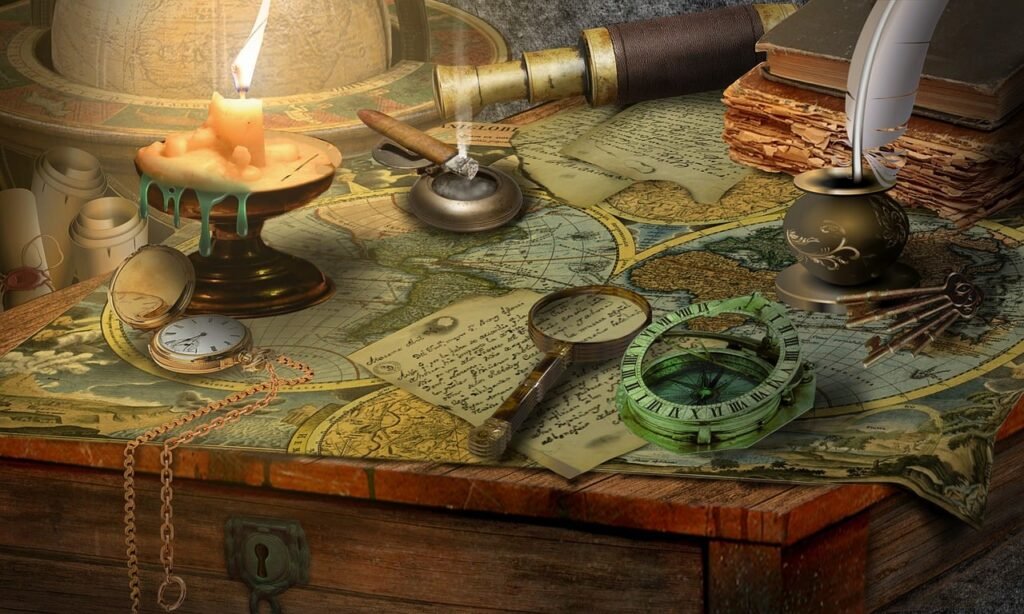
How to Read a Map and Navigate Your Way to Success
Maps are powerful tools that can help you explore new places, plan your trips, and find your way in unfamiliar situations. However, many people struggle with map interpretation and navigation skills, especially in the age of digital devices and GPS. In this article, we will share some of the best advice you could ever get about map interpretation and understanding where you are going, whether you are using a paper map, a smartphone app, or a compass.
What is a Map?
A map is a representation of a part of the earth’s surface, usually drawn on a flat surface such as paper or a screen. Maps can show various features of the landscape, such as roads, rivers, mountains, cities, and borders. Maps can also show other information, such as climate, population, culture, or history.
Maps are not exact copies of reality, but rather simplified and symbolic models that highlight certain aspects of the world. Therefore, maps have some limitations and distortions that you need to be aware of when using them. For example, maps cannot show the true shape, size, or distance of the landforms, because they have to fit a curved surface onto a flat one. Maps also cannot show every detail of the terrain, because they have to use scales and symbols to represent them.
To overcome these limitations and distortions, maps use various techniques and conventions to make them more accurate and useful. Some of these techniques and conventions are:
-Projection: A projection is a method of transferring the features of the earth’s surface onto a flat map. There are many types of projections, each with its own advantages and disadvantages. Some common projections are Mercator, Robinson, Lambert, and Winkel Tripel. You can usually find the type of projection used on a map in its legend or title.
– Scale: A scale is a ratio that shows how much the map has been reduced or enlarged compared to the actual size of the area it represents. For example, a scale of 1:50,000 means that one centimeter on the map equals 50,000 centimeters (or 500 meters) on the ground. You can usually find the scale of a map in its legend or along its edges.
– Grid: A grid is a system of lines that divides the map into equal squares or rectangles. Each square or rectangle has a unique code or number that helps you locate a specific point on the map. The most common grid system is the Universal Transverse Mercator (UTM), which uses easting and northing coordinates to measure distances from the equator and the prime meridian. You can usually find the grid system of a map in its legend or along its edges.
– Symbols: Symbols are shapes, colors, or letters that represent different features or information on the map. For example, blue lines may represent rivers, green areas may represent forests, and red dots may represent cities. You can usually find the meaning of the symbols on a map in its legend or key.
How to Interpret a Map?
To interpret a map effectively, you need to pay attention to its title, legend, scale, grid, symbols, and other details. Here are some steps to follow when interpreting a map:
– Step 1: Read the title of the map and identify its purpose and scope. What is the main topic or theme of the map? What area does it cover? What time period does it refer to?
– Step 2: Read the legend or key of the map and familiarize yourself with the symbols and colors used on the map. What do they mean? How do they relate to each other? How do they help you understand the topic or theme of the map?
– Step 3: Read the scale and grid of the map and estimate the size and distance of the features on the map. How big or small are they? How far apart are they? How do they compare to each other?
– Step 4: Observe the patterns and trends on the map and analyze their significance and implications. What do they tell you about the topic or theme of the map? What do they reveal about the physical or human characteristics of the area? What do they suggest about the causes or effects of certain phenomena?
– Step 5: Compare and contrast different maps that show different aspects or perspectives of the same area. How do they complement or contradict each other? What new insights or questions do they raise?
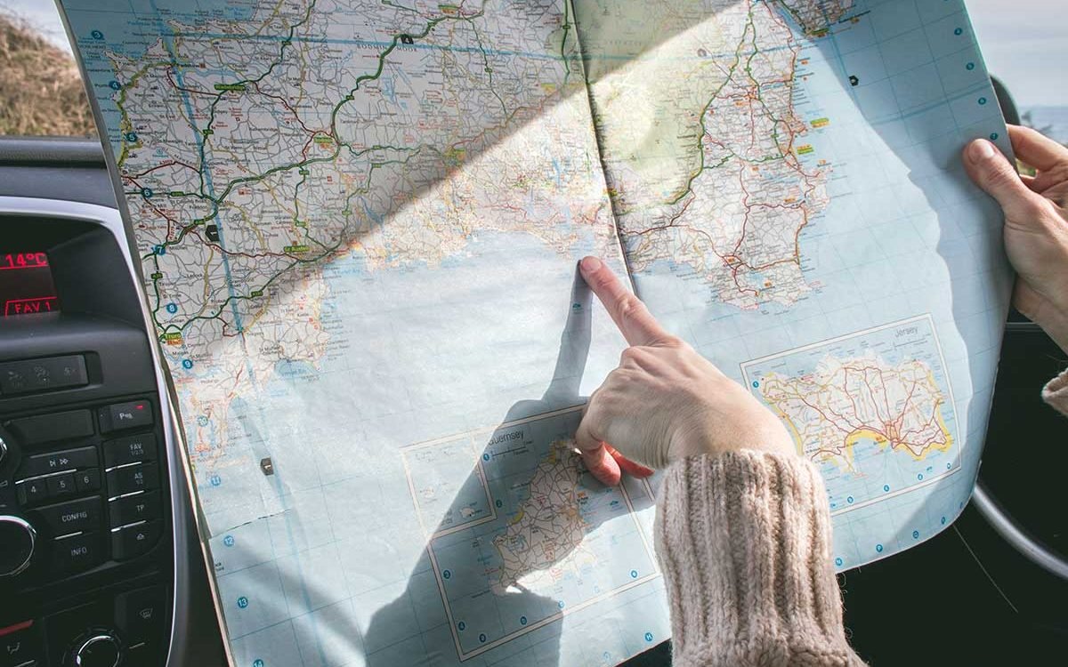
How to Use a Map When You Travel: A Guide for Adventurous Explorers
Traveling is one of the most rewarding and exciting experiences you can have in life. It allows you to discover new places, cultures, people, and yourself. However, traveling also comes with some challenges and risks, especially if you are going to unfamiliar or remote destinations. One of the most important skills you need to have as a traveler is how to use a map.
A map is not just a piece of paper or a screen that shows you where you are and where you want to go. It is also a tool that helps you plan your trip, navigate your way, and learn more about the world. Using a map can make your travel more enjoyable, safe, and meaningful.
But how do you use a map effectively when you travel? Here are some tips and tricks that will help you become a master of maps:
Choose the Right Map for Your Purpose
There are many types and formats of maps available for travelers, such as road maps, topographic maps, city maps, tourist maps, hiking maps, and digital maps. Each one has its own advantages and disadvantages, depending on your purpose and preference.
For example, if you are driving a car or a motorcycle, you may want to use a road map that shows the major highways, roads, and landmarks. If you are hiking or camping in the wilderness, you may want to use a topographic map that shows the elevation, contour, and terrain features. If you are exploring a city or a town, you may want to use a city map that shows the streets, buildings, and attractions.
You may also want to consider the format of the map, such as paper or digital. Paper maps are more durable and reliable than digital maps, as they do not depend on batteries or internet connection. However, paper maps are also more bulky and difficult to update than digital maps. Digital maps are more convenient and interactive than paper maps, as they can be accessed on your smartphone or tablet. However, digital maps are also more vulnerable and dependent on technology than paper maps.
The best option is to use both paper and digital maps when you travel, as they can complement each other and provide backup in case one fails. You can also use different types of maps for different stages of your trip, such as planning, navigating, and learning.
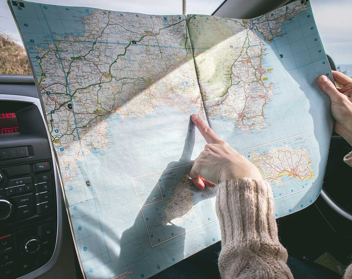
Learn How to Read a Map
Reading a map is not as simple as looking at it and finding your location or destination. It requires some basic knowledge and skills that will help you interpret the information and symbols on the map.
Some of the essential elements of reading a map are:
- Orientation: Orientation is the direction that the map is facing. Most maps are oriented with north at the top, but some may have different orientations depending on the perspective or purpose of the map. You can use a compass or a GPS device to orient yourself with the map and align it with the real world.
- Scale: Scale is the ratio between the distance on the map and the distance on the ground. For example, a scale of 1:50,000 means that one centimeter on the map equals 50,000 centimeters (or 500 meters) on the ground. You can use a ruler or your fingers to measure distances on the map and estimate how far or how long it will take you to travel from one point to another.
- Grid: Grid is a system of lines that divides the map into equal squares or rectangles. Each square or rectangle has a unique code or number that helps you locate a specific point on the map. The most common grid system is the Universal Transverse Mercator (UTM), which uses easting and northing coordinates to measure distances from the equator and the prime meridian. You can use a grid reference tool or an app to find your grid coordinates on the map and share them with others in case of emergency or communication.
- Symbols: Symbols are shapes, colors, or letters that represent different features or information on the map. For example, blue lines may represent rivers, green areas may represent forests, and red dots may represent cities. You can use the legend or key of the map to understand what each symbol means and how it relates to the reality.
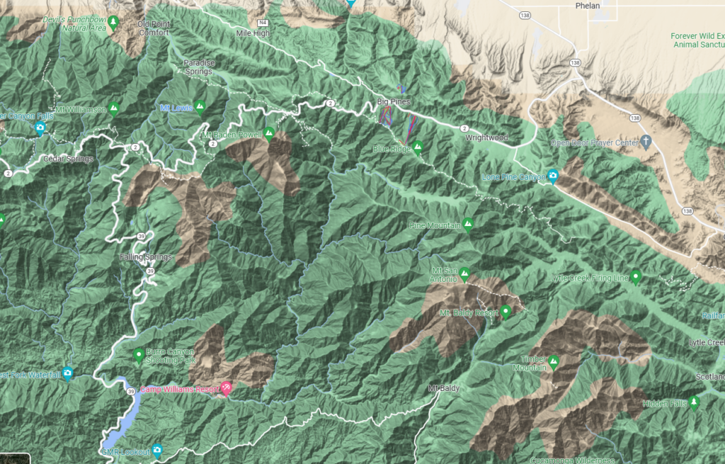
- Contours: Contours are lines that connect points of equal elevation on the map. They show the shape and height of the landforms, such as hills, mountains
There is latitude and longitude on a map
On a map there is latitude and longitude.
Here is a possible short story explaining the man who invented longitude and how he did it:
The Clockmaker’s Quest
John Harrison was a clockmaker who had a passion for solving one of the greatest challenges of his time: finding the longitude at sea. Longitude is the distance east or west of a fixed point on the earth, such as the prime meridian. Knowing the longitude is essential for navigation, as it determines the position and direction of a ship. However, unlike latitude, which can be measured by the height of the sun or stars, longitude cannot be directly observed. The only way to find it is to compare the local time of a place with the time of another place with a known longitude.
The problem was that no one had invented a reliable and accurate clock that could keep time at sea. The motion of the waves, the changes in temperature and humidity, and the variations in gravity all affected the performance of existing clocks, making them lose or gain minutes or even hours per day. Many sailors and explorers had lost their lives or their ships due to errors in navigation caused by faulty clocks.
John Harrison was determined to create a clock that could withstand these challenges and keep time precisely. He spent decades of his life designing and building different models of clocks, each one more refined and improved than the previous one. He tested his clocks on land and on sea voyages, comparing them with astronomical observations and other methods of finding longitude. He faced many difficulties and obstacles, such as lack of funding, competition from other inventors, and skepticism from the scientific establishment.
Finally, in 1761, he completed his masterpiece: a pocket watch that he called H4. It was a marvel of engineering and craftsmanship, made of hundreds of tiny parts that worked together in harmony. It was so accurate that it could keep time within a few seconds per month. It was also so portable and durable that it could be carried anywhere and survive any conditions.
Harrison submitted his watch to the Board of Longitude, a government body that had offered a prize of 20,000 pounds (a fortune at that time) to anyone who could find a practical way of determining longitude at sea. The Board tested his watch on a voyage from England to Jamaica, and found that it performed remarkably well. It only lost 5 seconds in 81 days, which translated to an error of less than 2 miles in longitude. The Board was impressed by Harrison’s achievement, but they were reluctant to award him the prize. They demanded more tests and proofs, and they favored other methods of finding longitude, such as using lunar tables or chronometers made by other clockmakers.
Harrison was frustrated and disappointed by the Board’s delays and demands. He felt that they were unfair and biased against him. He appealed to King George III, who intervened on his behalf and ordered the Board to pay him part of the prize money. Harrison received 10,000 pounds in 1765, but he never received the full amount or the official recognition that he deserved.
Harrison died in 1776, at the age of 83. He had devoted most of his life to his quest for finding longitude. He had invented not only a clock, but also a new science and art of timekeeping. He had changed the world of navigation and exploration forever. He had proven that nothing is impossible with perseverance and ingenuity. He was the man who invented longitude.